Markets / Corridor inspection, vegetation encroachment
Utilities & Energy
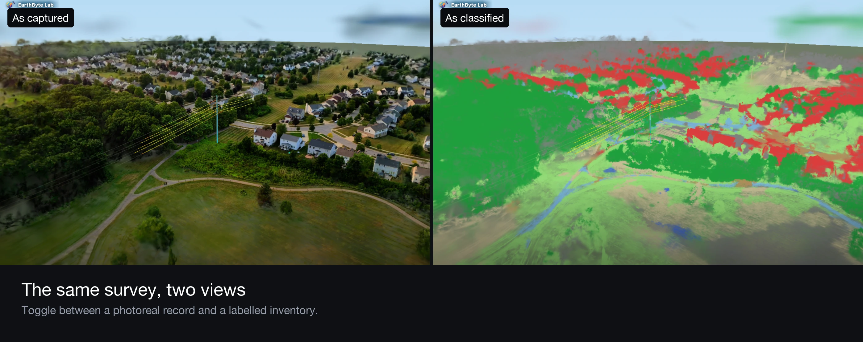
Vegetation contact remains a leading cause of outages and ignition events. We turn one aerial pass over a corridor into a photoreal 3D scene, a classified asset inventory, and per-span clearance in metres. Review happens in a browser, not a GIS seat.
What we address
The problems on the table
Vegetation encroachment
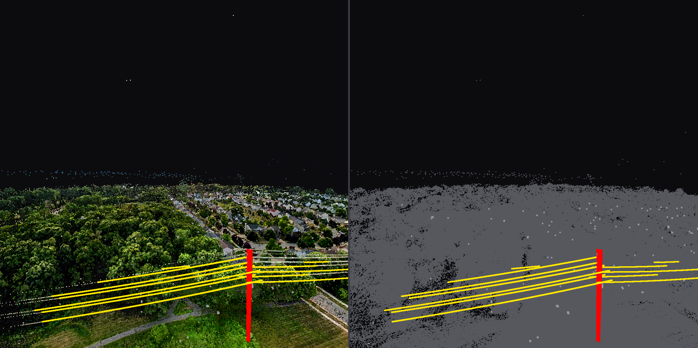
Clearance measured per span with energised phase conductors separated from grounded shield wires. Reports lead with the spans that need attention.
Asset inventory
Conductors, structures, and surroundings labelled automatically. A recent pass identified 14 conductors and the supporting structure from one flight, each confirmed by two independent lines of evidence.
Stakeholder review
Scenes share by link. Field crews, planners, and consultants see the same evidence without software installs.
Services that apply
How we work this market
Delivered work
Projects in this market
Put a proposal on your desk
Tell us the site, the question, and the deadline. We respond with scope, deliverables, schedule, and price.