Services / Drone LiDAR, photogrammetry, Gaussian splatting
Reality Capture & LiDAR
We capture sites from the air and deliver them as measurable, photoreal 3D scenes that open in any modern browser. One flight yields the scene, a classified view of every asset in it, and structured measurements. Delivery is a URL, not a file transfer.
Capabilities
What the work involves
Aerial capture and processing
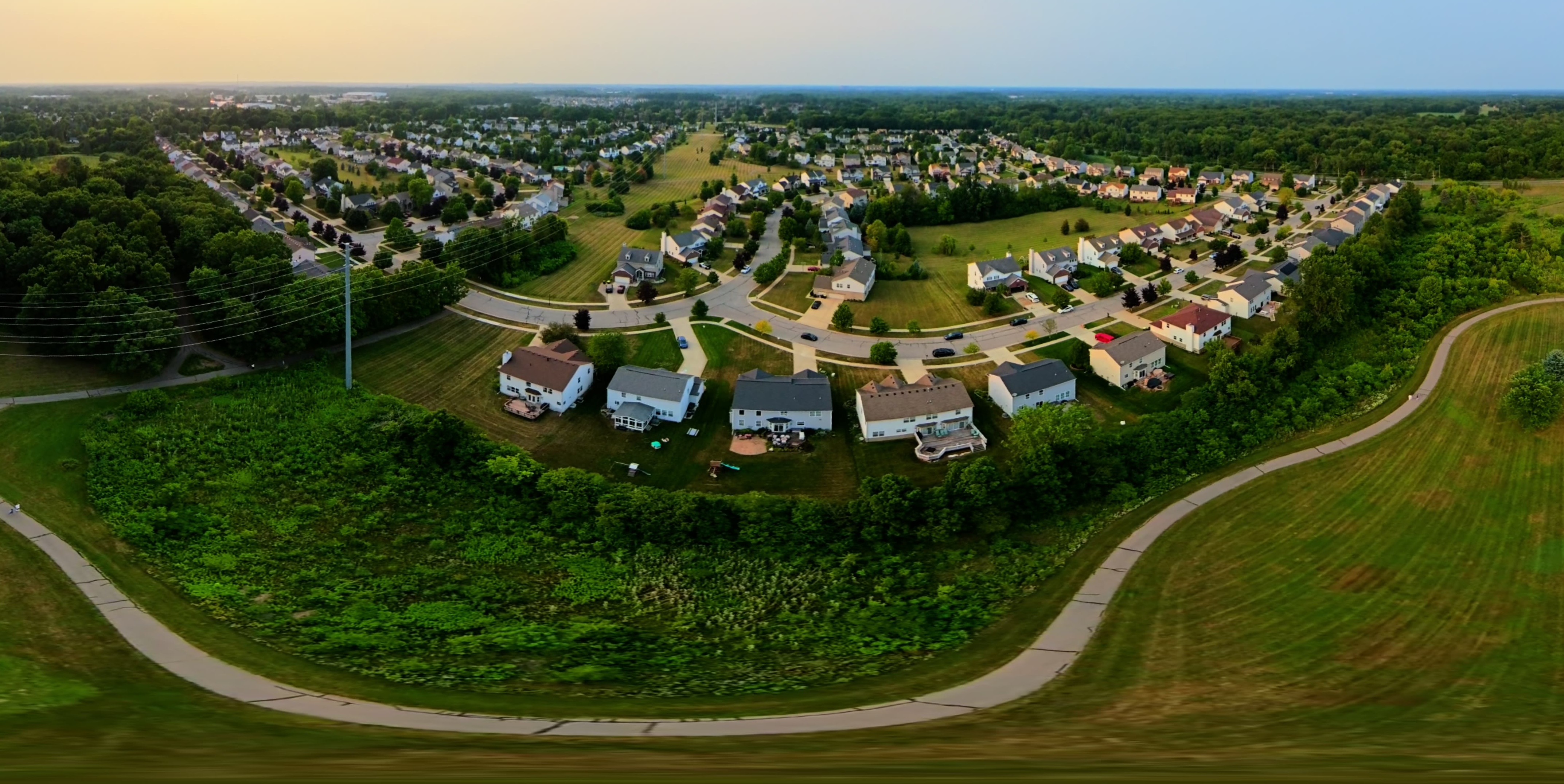
Photogrammetric capture and 3D Gaussian splatting produce photoreal scenes from a single flight.
Automated asset classification
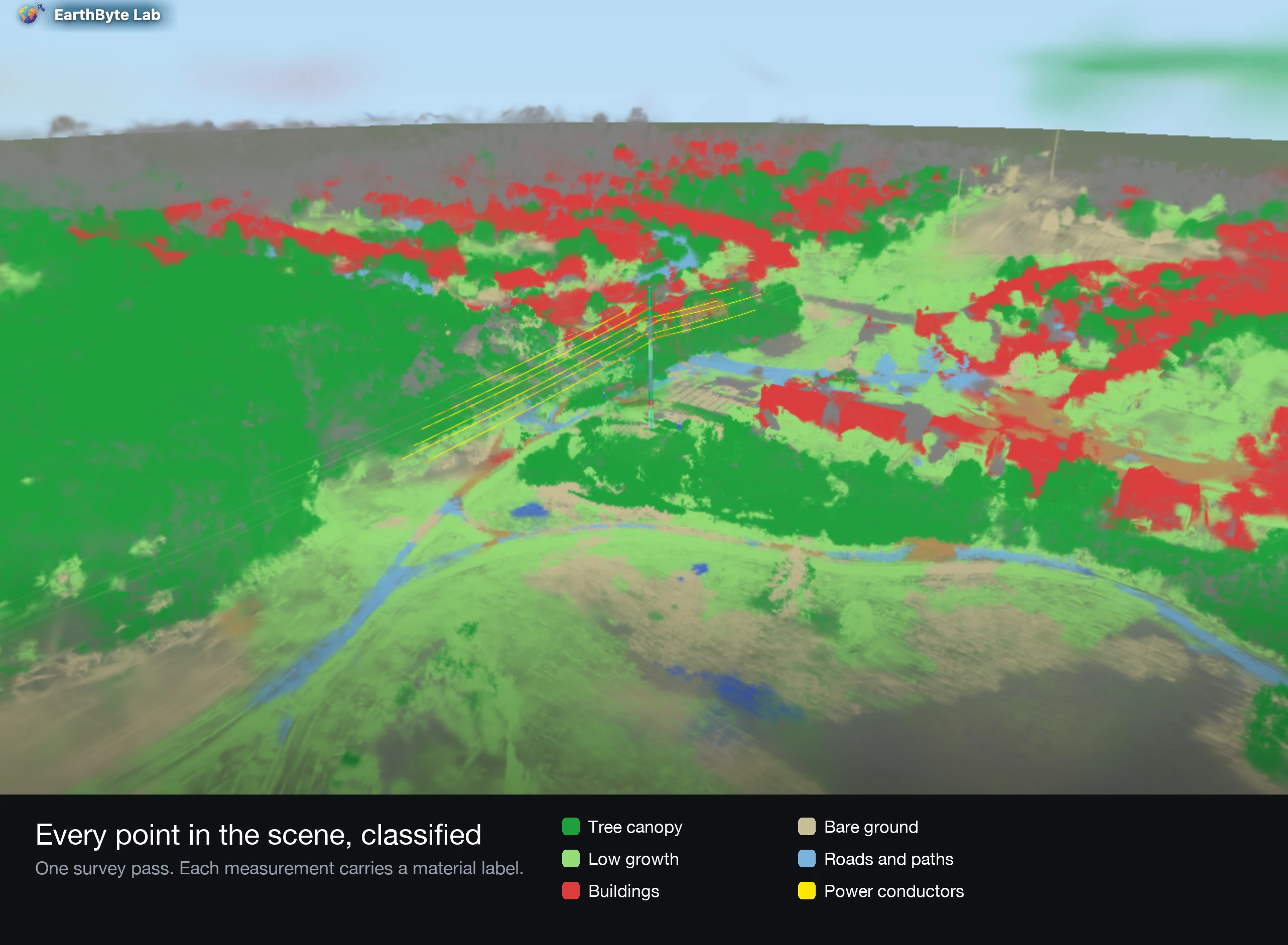
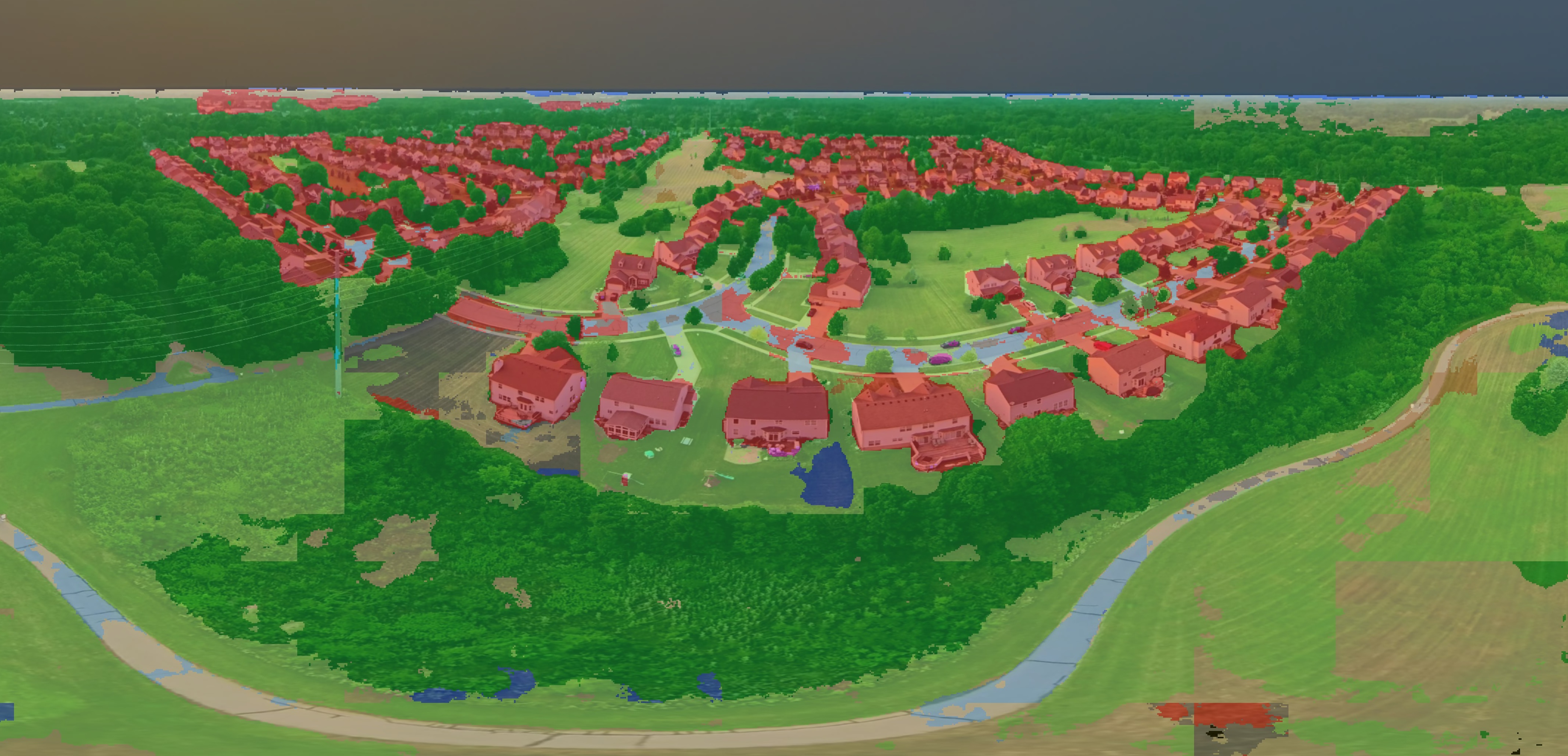
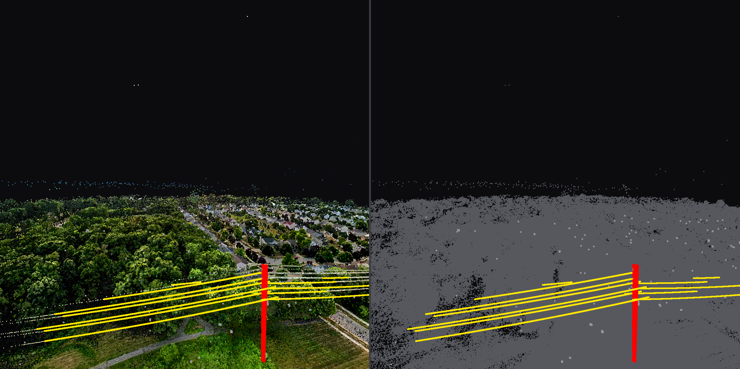
We label canopy, low growth, buildings, bare ground, roads, and conductors in the reconstructed scene. On a recent corridor pass the system found 14 conductors and their supporting structure from one flight.
Clearance and geometry extraction
Conductor geometry, structure positions, and vegetation clearance reported per span, in metres, with energised phase conductors separated from grounded shield wires.
Web delivery
Scenes host on our viewer infrastructure and share by link. No plugins, no GIS seat required to review.
Tooling
- Drone photogrammetry
- 3D Gaussian splatting
- LiDAR
- Point cloud classification
Deliverables
What you receive
- Photoreal 3D scene, shareable by link
- Classified asset view, toggled on demand
- Conductor geometry, structure positions, and clearance measurements as structured data
- Written report leading with the spans that need attention
Where it applies
Markets served by this service
Delivered work
This service in the field
Put a proposal on your desk
Tell us the site, the question, and the deadline. We respond with scope, deliverables, schedule, and price.