Accurate weather forecasting has long been a challenge, requiring complex simulations and vast computational resources. Google is taking a bold step forward with GenCast, a generative AI model designed to improve short-term weather predictions. This advancement has the potential to reshape industries that rely on real-time weather insights, including agriculture, disaster management, and environmental monitoring.
What is GenCast?
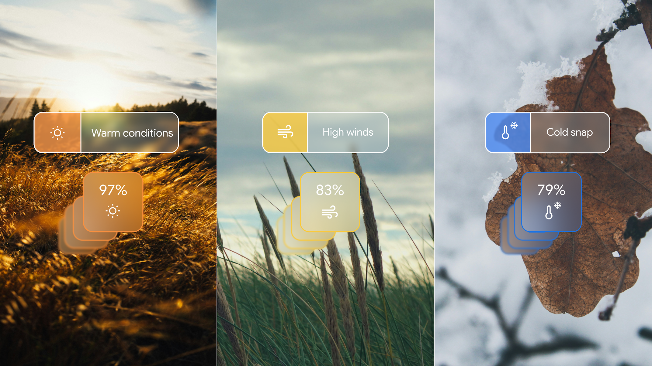
GenCast is a machine learning model that leverages historical weather data and real-time observations to generate highly detailed short-term weather forecasts, known as nowcasts. Unlike traditional numerical weather prediction (NWP) models that rely on physics-based simulations, GenCast uses deep learning to analyze patterns and make rapid predictions.
Key Features of GenCast
- Short-Term Accuracy: Provides forecasts with high spatial and temporal resolution, focusing on the next 1 to 12 hours.
- Faster Computation: Processes forecasts in seconds, compared to the hours traditional models require.
- Generative AI Capabilities: Learns from vast amounts of past weather data to predict future conditions more effectively.
Why Does GenCast Matter?
1. Enhanced Weather Monitoring for Agriculture
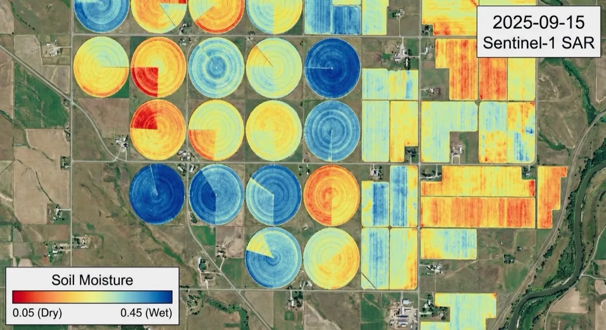
Farmers rely on weather forecasts to make critical decisions about irrigation, planting, and harvesting. GenCast’s high-resolution predictions can provide timely insights on rainfall, temperature, and wind patterns, reducing the risk of crop damage due to sudden weather changes.
2. Improved Disaster Response
Accurate short-term weather predictions are crucial for emergency responders dealing with floods, storms, and wildfires. By predicting extreme weather conditions earlier and more precisely, GenCast can help communities prepare and mitigate damage.
3. Advancing Environmental and Climate Research
For researchers studying climate patterns, urban heat islands, and air quality, GenCast offers a new tool for analyzing short-term weather fluctuations with unprecedented precision. This could complement traditional models in climate impact assessments.
How is GenCast Useful for End Users?
GenCast isn’t just for scientists or policymakers—it has direct benefits for everyday users:
- Commuters & Travelers: Get hyperlocal, real-time weather updates to plan safe and efficient routes, especially during severe conditions.
- Event Organizers: Whether planning an outdoor event, a wedding, or a sports game, GenCast can provide more accurate short-term forecasts, reducing the risk of disruptions.
- Outdoor Enthusiasts: Hikers, campers, and boaters can use GenCast-powered apps to avoid sudden storms and stay safe.
- Homeowners & Businesses: Receive early warnings about heavy rain, hail, or strong winds, helping protect property and assets.
How Does GenCast Compare to Traditional Models?
| Feature | Traditional Weather Models | GenCast AI Model |
|---|---|---|
| Computation Time | Hours to days | Seconds |
| Prediction Scope | Global, long-term | Short-term, high-resolution |
| Data Processing | Physics-based | AI-driven |
| Update Frequency | Few times a day | Continuous |
By focusing on short-term, high-precision predictions, GenCast fills a crucial gap in weather forecasting, making real-time weather adaptation possible for industries and individuals alike.
What’s Next?
Google is continuing to refine GenCast, integrating it with existing forecasting systems and expanding its capabilities. As AI-driven weather models like GenCast evolve, they could significantly improve decision-making across sectors that depend on timely and accurate weather data.
At EarthByte Lab, we’re always exploring advancements in AI and geospatial technology. If you're interested in leveraging AI-powered forecasting for agriculture, environmental monitoring, or disaster response, stay tuned for more updates!
Contact us today to learn more about how we can help you utilize open SAR data for your projects, and visit us at earthbytelab.com and Schedule a consultation to get started!
Source: Google Blog
Tagged